Expeditions
Broad Peak Expedition
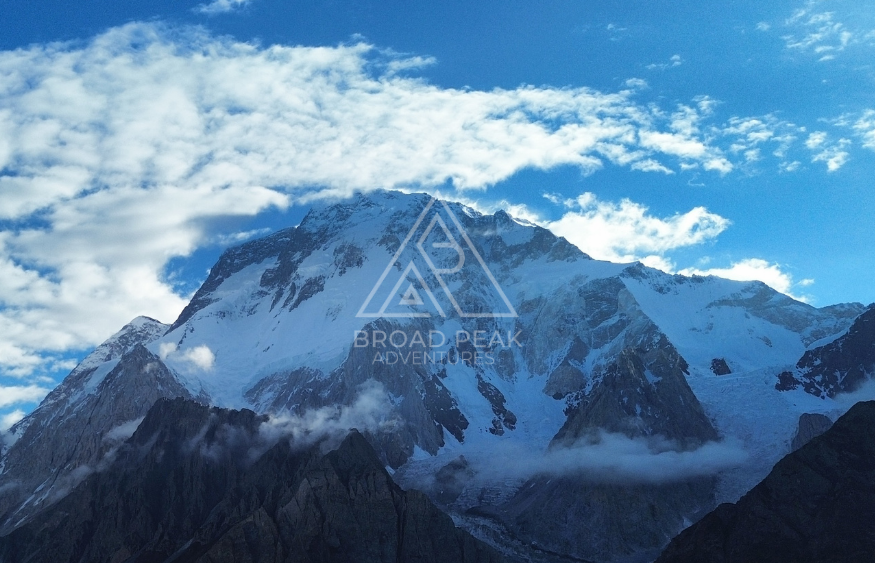
Climb Broad Peak, 8,051 metres, by the normal route above Concordia. A serious 8,000 metre expedition often chosen before K2.
47 daysMountaineering
Explore journey →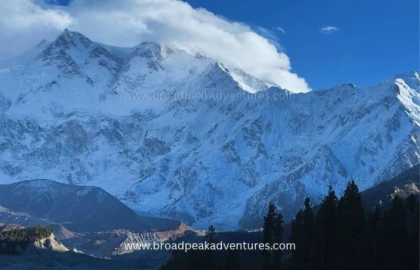
The ninth highest mountain in the world, by the Kinshofer Route
THE JOURNEY
Nanga Parbat is the ninth highest mountain in the world and the only 8,000 metre peak in the Pakistan Himalaya. Its name means Naked Mountain, and local people call it Diamir. Hermann Buhl made the first ascent alone on 3 July 1953 from the Rakhiot side. Today almost every expedition climbs the Diamir Face on the west, by the route Toni Kinshofer, Siegfried Low and Anderl Mannhardt opened in 1962.
The mountain earned the nickname Killer Mountain from the heavy losses of the early expeditions, and it remains a serious, technical climb. This is a base camp service: we handle permits, transport, the trek in and a fully staffed base camp, and your team climbs independently above it. High altitude porters, a climbing guide, fixed rope and oxygen can be added.
Base camp sits on grass at about 4,200 metres at the foot of the Diamir Face. The Kinshofer Route is steep in its lower half and long in its upper half.
It is harder than Broad Peak or Gasherbrum II. The section between Camp 1 and Camp 2 is exposed to rockfall, especially later in the season, and the Kinshofer Wall is the technical crux. Summit day is one of the longest on any 8,000 metre peak because the top camp is low.
Climbers who have already summited an 8,000 metre peak, or have very strong experience above 7,000 metres, and who are confident on steep ice and fixed ropes with a heavy pack.
The season is earlier than in the Karakoram. Teams arrive in early June and aim for the summit in late June or early July, before rising temperatures increase rockfall. A mountaineering visa, a climbing permit and a liaison officer are required. At the time of writing the summer royalty for foreign climbers is 2,500 US dollars per person for the 8,000 metre peaks other than K2. Fees have been revised several times, so we confirm the figure with each team.
IN PICTURES
DAY BY DAY
Airport pick up and transfer to the hotel. Team meeting and equipment check.
Official briefing, permit formalities and final shopping.
Ten to twelve hours by road along the Karakoram Highway, or over Babusar Pass once it is open, to Chilas at 1,265 metres.
Jeeps through Bunar Das to Halale Bridge, where the porters are waiting. Walk up the Diamir valley through forest to the first camp.
Four to five hours through pasture and woodland to the meadow of Kutgali.
Three to four hours to base camp at about 4,200 metres.
Thirty two days for acclimatisation rotations, stocking camps and the summit attempt.
Clear base camp, walk out over two days and drive to Chilas.
Return to Islamabad for debriefing.
Held for weather or road delays.
Transfer to the airport.
THE DESTINATION
Destination overview. The final route is confirmed with your trip itinerary.
Open map in a new tab ↗Travel dates
Tell us your dates
What's covered
Prepare for the journey
Good to know
Nanga Parbat is 8,126 metres high, which makes it the ninth highest mountain in the world.
Almost all teams climb the Kinshofer Route on the Diamir Face, first climbed in 1962.
Thirty one people died on the mountain before its first ascent in 1953, and the name has stayed with it.
June and early July. Later in the summer, rockfall on the lower route becomes more dangerous.
About 43 days from arrival in Islamabad.
Yes. Trekkers can visit the Diamir, Rupal or Fairy Meadows sides of the mountain without any climbing.
Share your preferred dates, group size, travel experience and any accessibility or dietary requirements. Ask our team for a written itinerary and a clear breakdown of included services, optional activities and additional costs before confirming.
Check the start and finish locations shown in the trip specifications. Confirm airport transfers, meeting times and any domestic flights with our team before booking independent travel. Allow flexibility for weather and transport changes.
Ask for the accommodation plan for each night, room or tent arrangements and meal inclusions for your chosen departure. Tell us about food allergies and dietary needs in advance so we can confirm what is possible along the route.
Review the itinerary, difficulty and maximum altitude before choosing this journey. Request the trip-specific packing list and confirm any rental equipment, sizes and availability before arrival. Discuss any health concerns with a qualified clinician before travel.
Check current entry requirements for your nationality and confirm whether your route needs additional permits. Review insurance coverage for your planned activities, maximum altitude, medical care and evacuation. Ask our team which documents are needed for this itinerary.
Weather, road conditions and local circumstances can affect the programme. Ask about alternative routes, spare days and how additional costs are handled. Contact us to discuss a private departure or changes to the published itinerary.
Keep exploring
Climb Broad Peak, 8,051 metres, by the normal route above Concordia. A serious 8,000 metre expedition often chosen before K2.
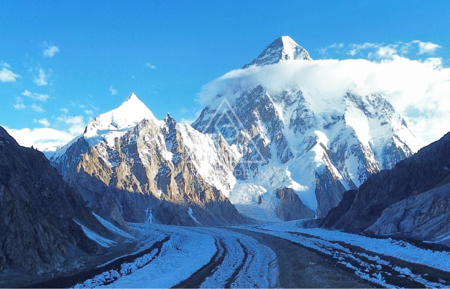
Attempt K2, 8,611 metres, by the Abruzzi Spur with full base camp support from a Skardu team that works on the Baltoro…
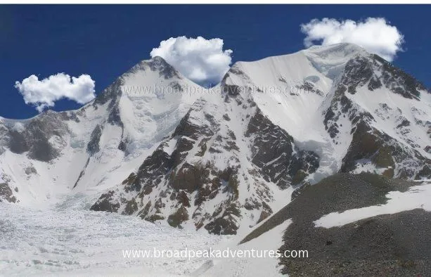
Khosar Gang (6,046 m) in the Shigar Valley, a good peak for climbers building high-altitude experience.